Drone surveys take clients to new heights
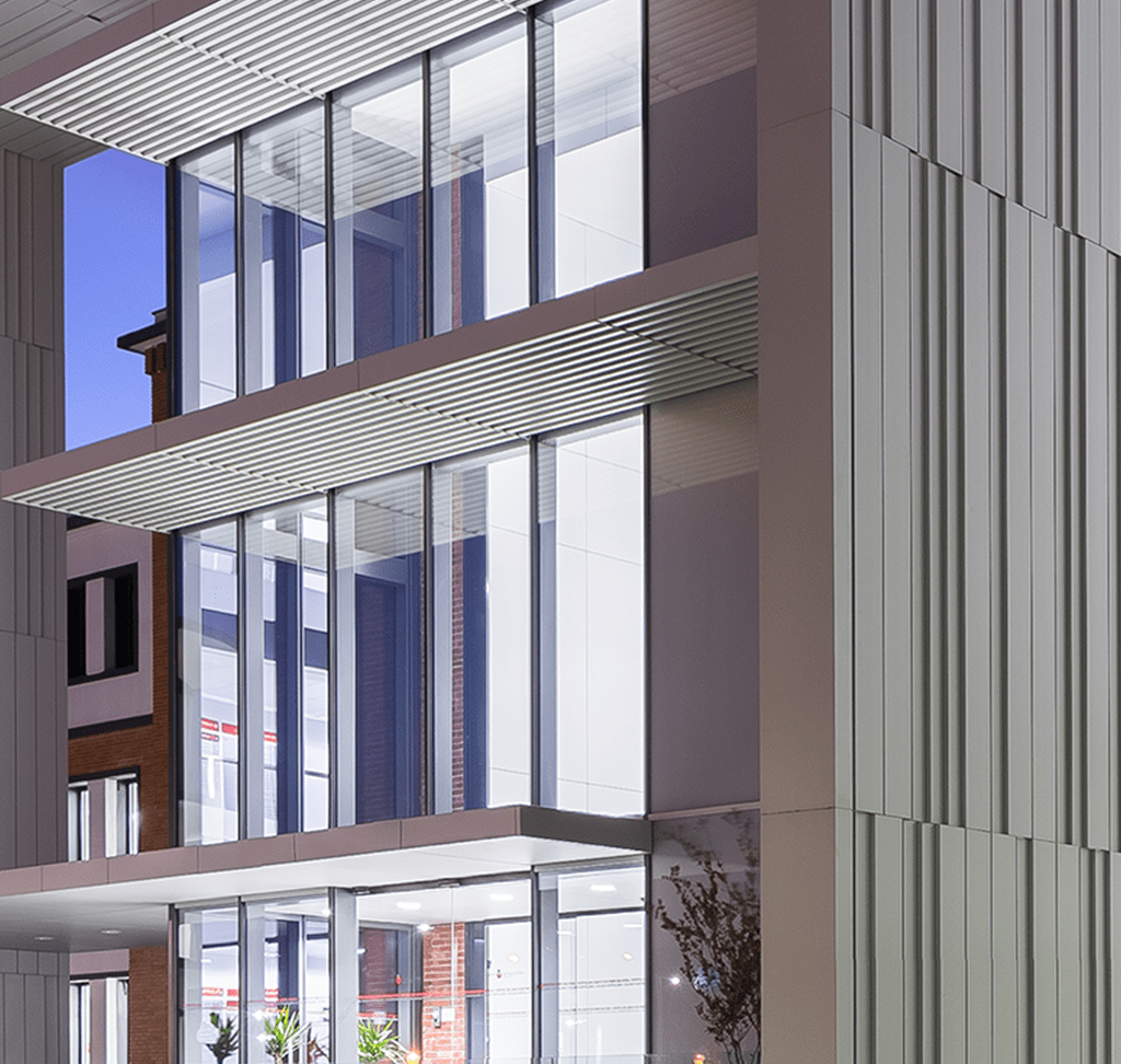
One of the latest pieces of technology improving the building and construction sector are drones. These lightweight aerial vehicles are ideal for surveying tall buildings, including roofs, as well as producing 3D mapping, alongside quick and accurate measurements. Our dedicated in-house aerial surveyor provides fast and precise coverage of your asset.
-
Drone Surveys Completed 465 (Since 2023)
-
Faster Site Surveys 80%
-
Client Recommendation Rating 96%
Our Services
Surveying eyes in the skies
We know that securing an accurate survey of your assets, quickly, is essential in the world of commercial property which is why we have invested in a dedicated drone surveying service, which can provide more than a close up shot of a roof defect.
We can provide live surveys on site, recorded videos of inspections, as well as produce 3D mapping of assets and topographical surveys. Through high-definition imagery we can instantly measure elevation, area and volume and provide editable CAD drawings for clients to help them understand the opportunities available from the asset.
Drone technology has made building surveying a much more efficient and smoother process, shortening the time it takes to conduct a survey by 80 per cent, providing 360 degree access to almost every part of a building, as well as more detailed assessments of defects. The technology can also be used to produce 3D printed models of projects and plans, helping to bring them to life for your key stakeholders.
In addition, using first person view drones we can produce internal and external fly by videos for use in surveys as well as video marketing materials, and also build virtual tours of projects.
Our services include, but are not limited to:
• Roof and elevated ceiling surveys
• 3D mapping and measurements
• Topographic surveys
• Virtual tours
• First person view videos for marketing purposes
For more information please contact our expert.
Our Drone Technology
Case Studies
Commercial
Phase 1 drone and buildin survey work and phase 2 investigate completed for Renault.
Industrial
Pre-acquisition due diligence reports including drone surveys at 11 properties in the portfolio.
View Case Study
Automotive
Vendor survey for current occupier as part of a sale and leaseback arrangement incorporating drone services.
View Case Study
News & Insights
P&BC Research
World-class insight into trends across the UK commercial property sector.
View Latest Research
P&BC Blog
The latest views, guides and top tips from our renowned industry experts.
View Latest Articles
P&BC News
Up-to-date developments and news from the Colliers' Building Surveying team.
View Latest News
Receive regular project & building trends and insights
Related Services
We draw upon our combined specialist skills across the business to provide you with full end-to-end real estate solutions.

Get in Touch
Your request has been submitted.
Someone will contact you shortly.